
Whether or not you’ve heard of Ha Giang, this is a place you must visit when exploring Vietnam. The Ha Giang Loop Map is the best way to immerse yourself in the breathtaking nature, vibrant culture, and warm people of northern Vietnam. Let’s dive into the details of the Ha Giang Loop Map to help you plan your next adventure.
Recommended Tours for You: 4 days Ha Giang
Where is Ha Giang?
Ha Giang is a vast mountainous province in the northwest of Vietnam, approximately 300 km from Hanoi, the capital of Vietnam. Renowned for its majestic landscapes, Ha Giang is an unmissable destination for nature lovers. Travelers often spend 3 to 5 days completing all or part of the Ha Giang Loop Map.
Which Vehicle Should You Use to Explore the Ha Giang Loop Map?
There are several ways to explore Ha Giang, depending on your budget and preference: taxis, buses, or motorbikes.
By Taxi – The Luxurious Option
Taxis are the most convenient way to travel, allowing you to stop wherever you want, eat anytime, and explore at your own pace. Local drivers are familiar with the roads, attractions, and hidden gems. However, the main downside is the cost—it’s the priciest option.

By Bus – The Budget-Friendly Choice
Buses are economical and ideal for larger groups traveling together. While buses let you enjoy the journey with friends, they can’t access some remote spots due to their size.
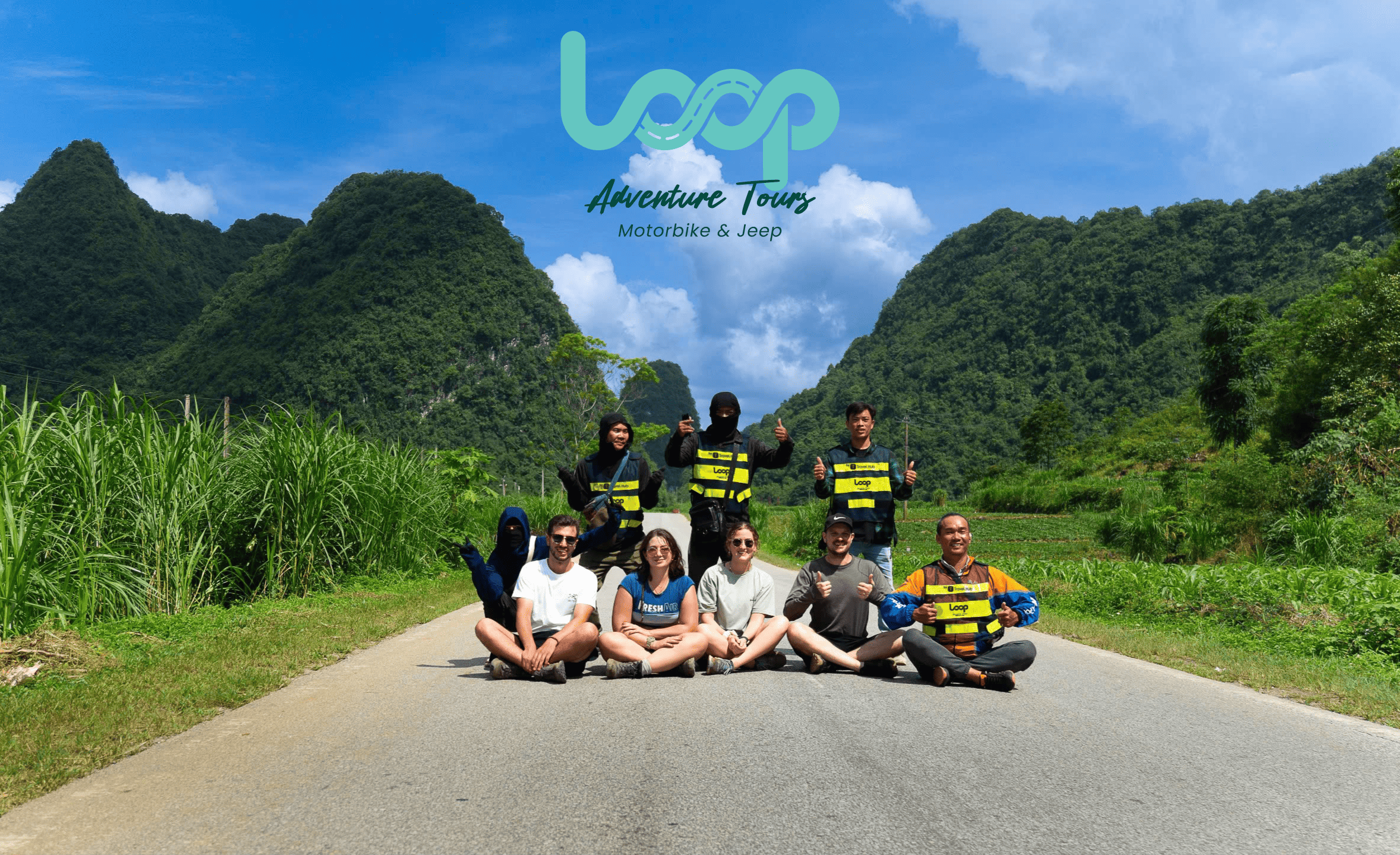
By Motorbike – The Most Adventurous Option
If you’re comfortable riding a motorbike, this is the best way to experience the loop. Motorbikes offer flexibility, affordability, and a sense of adventure. However, the roads can be bumpy and dangerous. It’s important to know the routes or travel with an experienced guide to avoid risks.
If you’re unsure which option to choose, feel free to contact us right away. We can customize an itinerary that combines multiple transportation methods for the best experience.
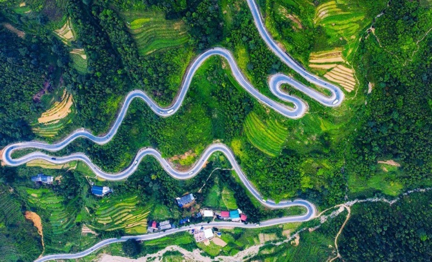
Ha Giang Loop Map
Below is an overview of the Ha Giang Loop Map, followed by detailed descriptions of the key locations. The sequence of destinations represents the optimal order for completing the loop.
1. Ha Giang City – Km 0
The starting point of the Ha Giang Loop is Km 0, located in the center of Ha Giang City. Travelers often stop to take photos at the Km 0 milestone and prepare for the upcoming adventure.
In the city, you can buy local specialties such as handwoven textiles, corn wine, and smoked buffalo meat—great as road snacks or souvenirs to take home. While the roads in Ha Giang City are relatively easy, this is a good time to get used to the terrain before tackling the more challenging parts of the journey.

2. Quan Ba – Heaven’s Gate and Twin Mountains
About 45 km from Ha Giang City, Quan Ba is famous for its Heaven’s Gate and Twin Mountains. The stunning views here will leave you in awe. Don’t miss the traditional dances of the Dao ethnic group, grilled wild boar, and herbal foot baths—a perfect way to relax after a long ride.

3. Yen Minh – Pine Forests and Local Markets
Located 55 km from Quan Ba, Yen Minh is known for its picturesque pine forests and fresh air. Take a walk in the serene forest and try the local delicacies such as “Thang Co” (a dish made from horse intestines) and a sip of “men lá” corn wine. However, avoid the wine if you’re the one driving!

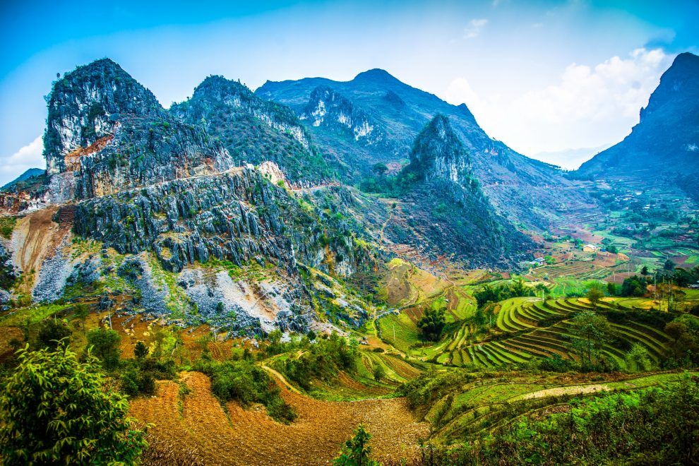
4. Dong Van – Rocky Plateau and Ancient Town
Another 55 km from Yen Minh lies Dong Van, home to the UNESCO-recognized Dong Van Karst Plateau Geopark. Explore the Lo Lo ethnic village, with its traditional earthen houses and unique rain-praying rituals.
Don’t miss the Dong Van Ancient Town, where you can admire hundred-year-old houses and experience the charm of the past. While here, make a trip to the Lung Cu Flagpole, the northernmost point of Vietnam—a symbol of your perseverance in conquering this journey.
For dinner, try the local specialties such as egg rolls (banh cuon trung) and sour noodles (pho chua) paired with honey from mint flowers.
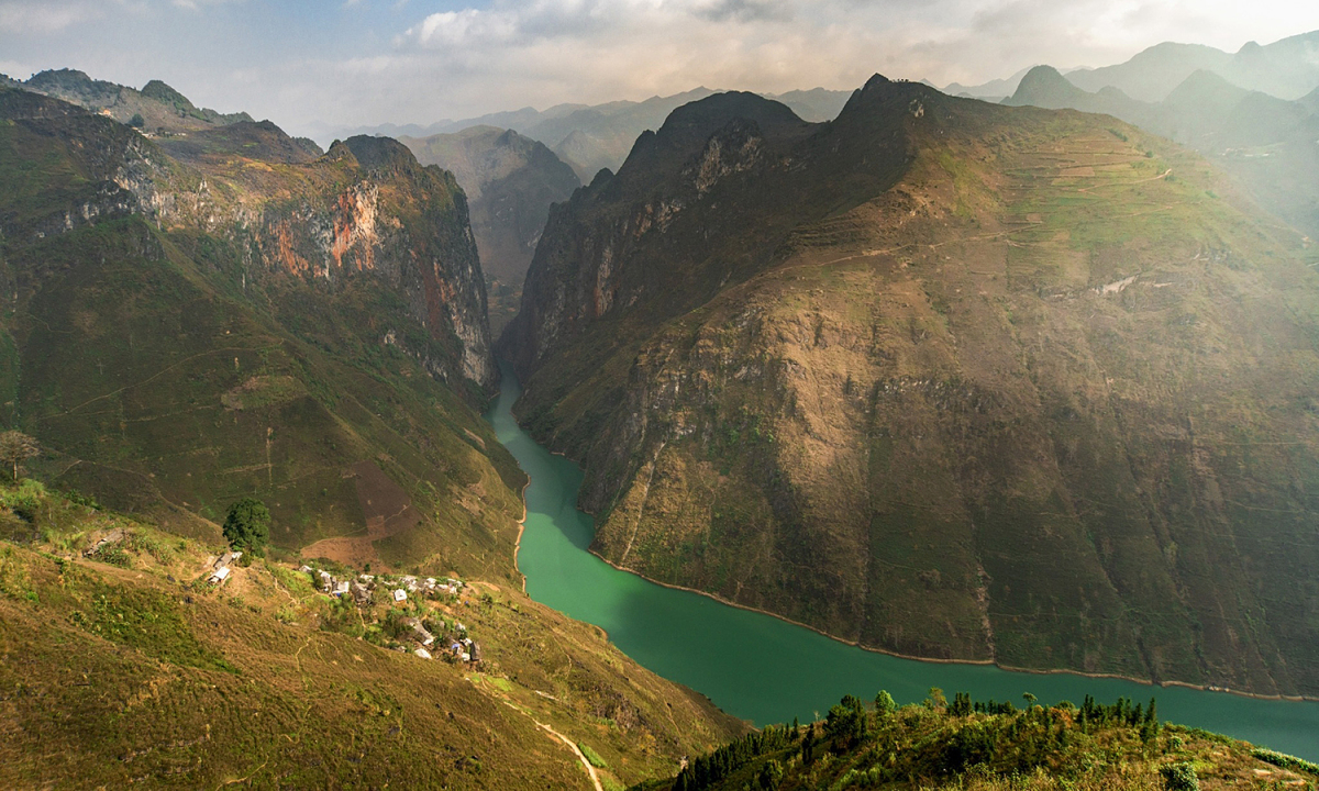
5. Ma Pi Leng – The Legendary Pass
Located 25 km from Dong Van, the Ma Pi Leng Pass is one of the most breathtaking yet challenging parts of the Ha Giang Loop. The winding roads and majestic views make it unforgettable.
Take a boat ride on the Nho Que River to marvel at the Tu San Canyon, the deepest canyon in Southeast Asia. Don’t forget to sample grilled goat meat and fresh local vegetables before you leave.
Why Choose the Ha Giang Loop Map?
The Ha Giang Loop is not just about stunning landscapes—it’s about experiencing Vietnam’s unique culture and meeting its welcoming people. Whether you complete the full loop or choose specific stops, this journey offers memories that will last a lifetime.
Perfect Tours for You:
Conclusion
The Ha Giang Loop Map is a perfect way to explore the untouched beauty of northern Vietnam. With its majestic mountains, diverse culture, and exciting adventures, it promises an unforgettable experience. Whether you’re planning a self-guided trip or seeking help from a travel agency, Ha Giang is a must-visit destination.
For more information about Ha Giang Loop Map bookings, pricing, and itineraries, contact us today. Hotline: +84329196074.