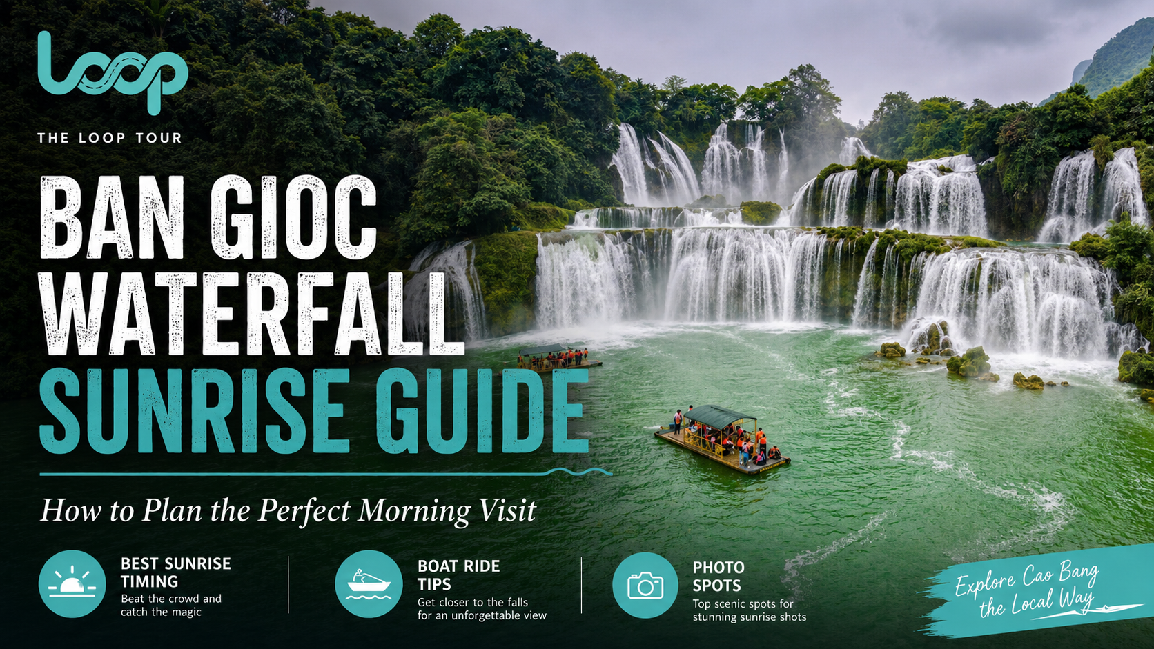
Read this Ban Gioc waterfall sunrise guide to plan the perfect early morning visit, find the best nearby stays, take beautiful photos, and explore Cao Bang with The Loop Tours.
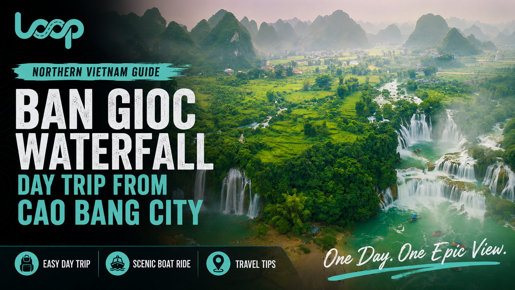
Plan the perfect Ban Gioc waterfall day trip from Cao Bang city with route tips, transport options, nearby attractions, timing advice, and support from The Loop Tours.
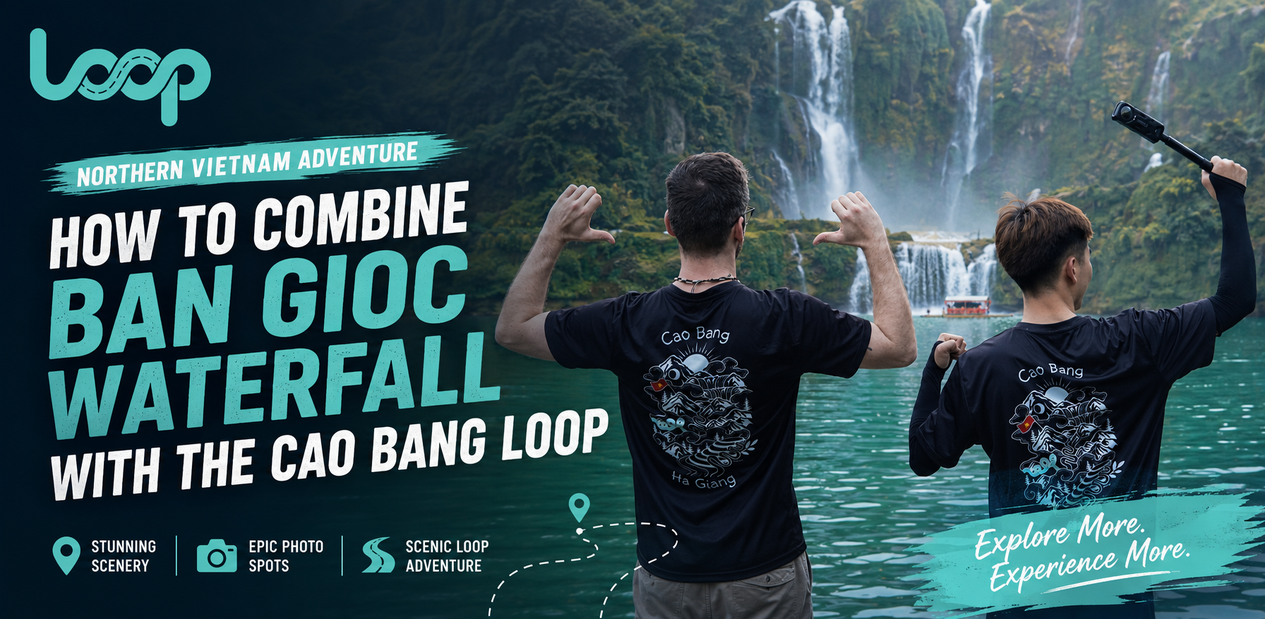
Learn how to combine Ban Gioc waterfall with the Cao Bang loop in a smart 2-day, 3-day, or 5-day itinerary with scenic roads, caves, villages, and The Loop Tours.

Plan the perfect Cao Bang road trip from Hanoi with scenic routes, travel times, waterfalls, caves, local villages, food stops, and support from The Loop Tours.
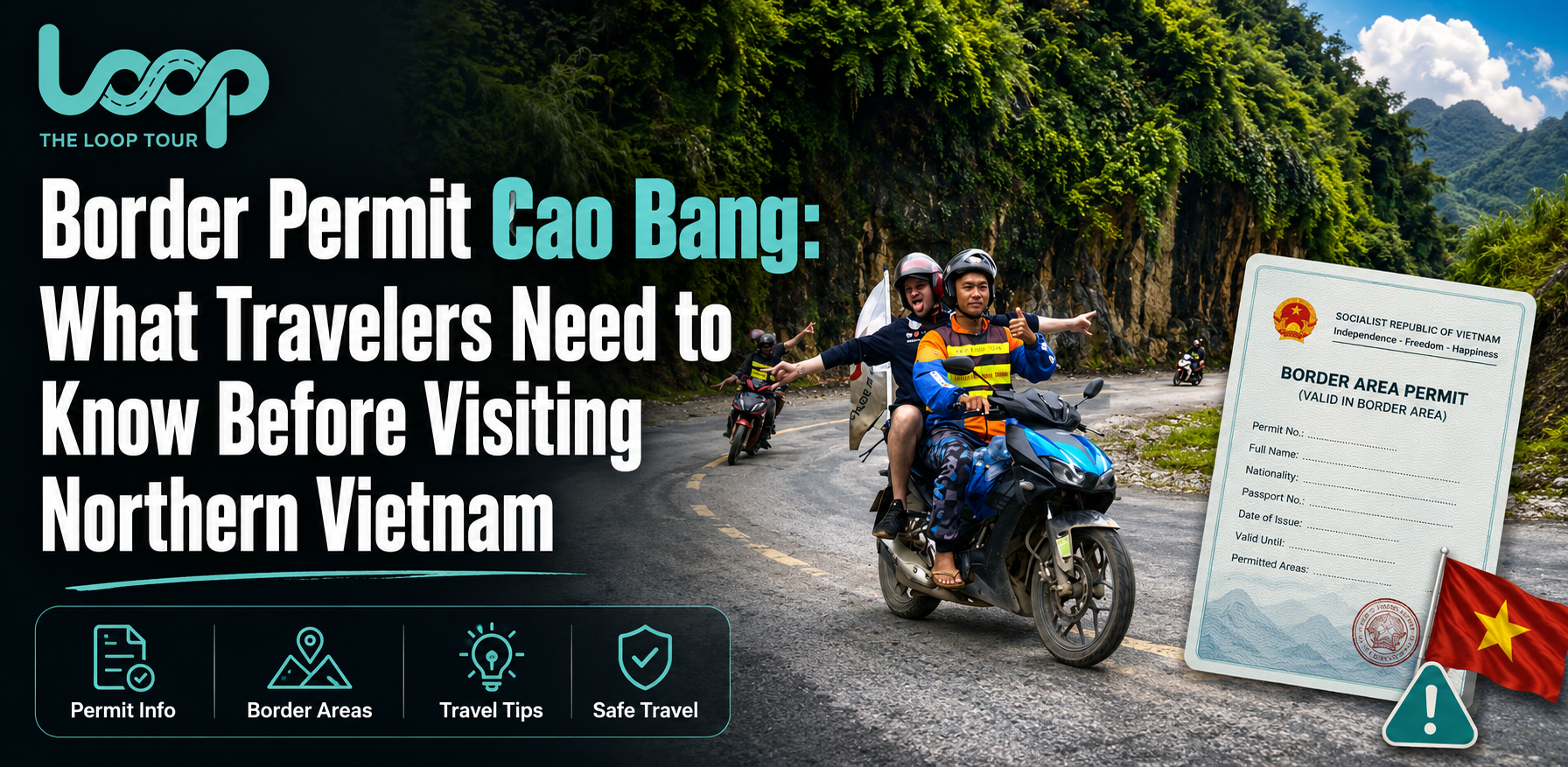
Learn everything about Border permit Cao Bang, including when foreign travelers may need permission, how much it costs, required documents, and how The Loop Tours can help.