

Ha Giang Loop Map and Route Planner: Everything You Need to Plan Your Route
If you've spent any time researching motorbike trips in northern Vietnam, chances are you've already heard people rave about the Ha Giang Loop. But before you pack your bags, it helps to actually look at the map and figure out how the route works — where it starts, what towns you'll pass through, and how long each stretch really takes. A lot of first-timers underestimate this part, then end up rushing through some of the best scenery on the trip. This guide walks through the route itself, the main stops worth marking on your map, and a few things we wish more riders knew before setting off.
What Is the Ha Giang Loop Route?
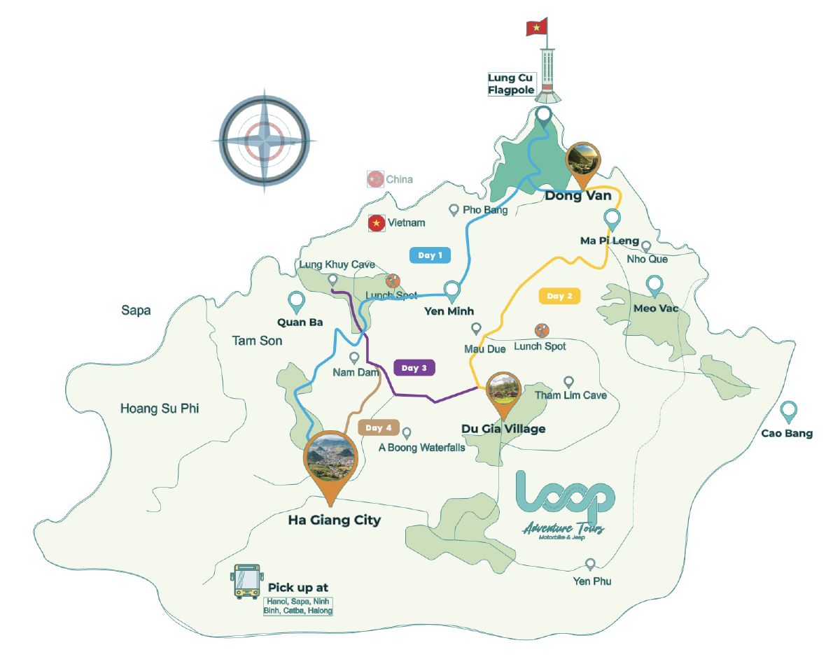
At its core, the Ha Giang Loop is a round trip by motorbike, starting and finishing in Ha Giang City. The route passes through Quan Ba, Yen Minh, Dong Van, and Meo Vac before looping back to where you started. Most people ride somewhere between 200 and 300 km over three to four days — though the exact number depends on how many detours you take and how often you stop to take photos (and you will stop a lot).
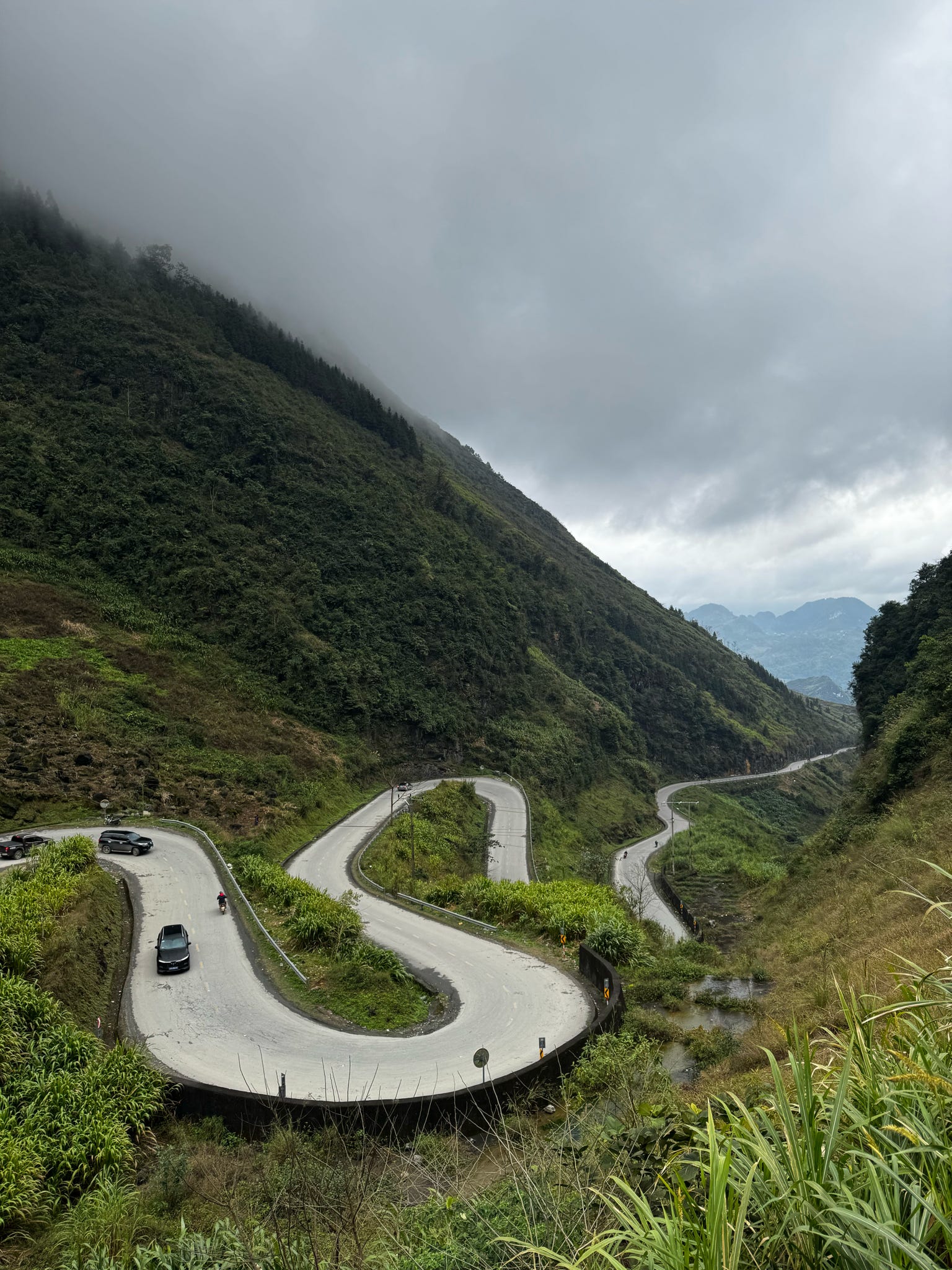
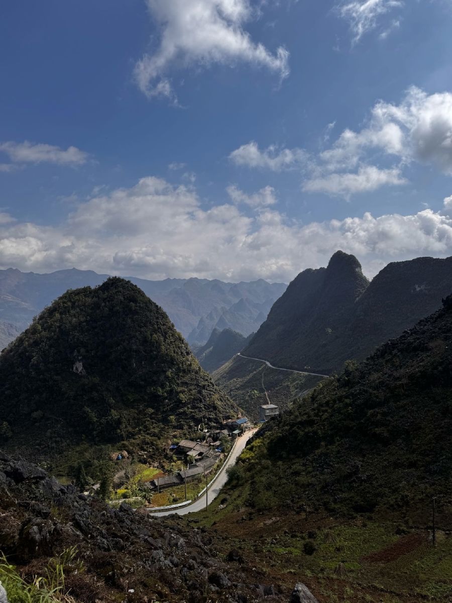
What makes it different from a typical road trip is that loop shape. You're never backtracking over the same road twice. Every day brings something new, whether that's the limestone peaks of the Dong Van Karst Plateau or the canyon views along Ma Pi Leng Pass.
Why You Need a Ha Giang Loop Map Before You Go
Having a route planned out isn't just about knowing which turn to take next. It's more about being realistic with your time. Mountain roads here look short on a map but take much longer to ride than flat highways — a 40 km stretch can easily eat up two hours. Beyond that, mapping your route ahead of time helps you figure out where to stop for fuel and food (services thin out fast once you leave the main towns), and which town makes sense to sleep in each night so you're not riding after dark.
Roads in Ha Giang also share space with local traffic, livestock, and sudden weather shifts, so even with a solid plan, it's worth leaving room to adjust as you go
Best Ha Giang Loop Route Itinerary (3–4 Days)
Here's roughly how a standard Ha Giang Loop map breaks down:
Day 1: Ha Giang City - Quan Ba - Yen Minh

You'll leave Ha Giang City and head toward Quan Ba, where most riders stop at Heaven's Gate for the view before continuing past the Twin Mountains. From there it's on to Yen Minh, a good spot for your first night.
Day 2: Yen Minh - Dong Van

You'll leave Ha Giang City This is one of the most photographed stretches of the whole loop — winding roads cutting through limestone mountains and past small H'mong villages. Dong Van's Old Quarter is where most people base themselves for the night, and it's worth wandering the old streets before you turn in.
Day 3: Dong Van - Ma Pi Leng Pass - Meo Vac

For a lot of riders, this is the day they remember most. Ma Pi Leng Pass runs right along the edge of the Nho Que River canyon, and the views are hard to describe until you've seen them yourself — it's often called one of the most spectacular roads in the country, and honestly, that's not an exaggeration.
Day 4 : Meo Vac - Ha Giang City
If you've got a fourth day, most people take a different road back rather than retracing Day 1–3, just to see something new on the way home.
Some travelers choose to extend the loop and combine it with Cao Bang, heading east instead of closing the circle right away. It's a good option if you've got five days or more and want to reach quieter spots like Ban Gioc Waterfall that most short trips skip.
Key Stops and Landmarks on the Map
A few landmarks worth marking before you set off:
-
Heaven's Gate (Quan Ba) — your first big viewpoint on the route
-
Twin Mountains (Quan Ba) — right along the road, easy to spot
-
Dong Van Old Quarter — a good base for the night, worth exploring on foot
-
Lung Cu Flag Tower — a short detour if you want to say you've reached Vietnam's northernmost point
-
Ma Pi Leng Pass — the highlight for most people
-
Nho Que River boat trip — a popular add-on if you have time near Ma Pi Leng
-
Meo Vac — smaller town, known for its market days
Self-Drive vs Easy Rider: Which Route Planning Suits You?
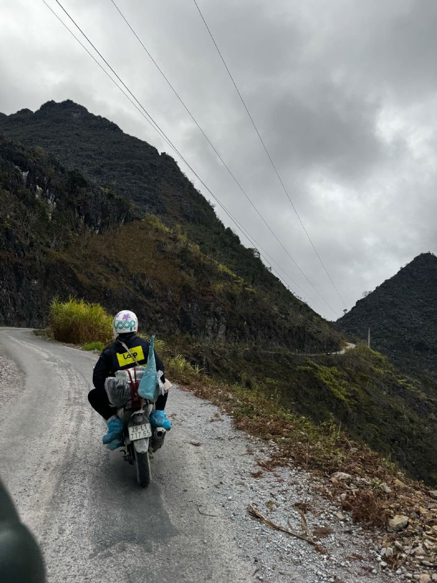
How much route planning you actually need to do depends on how you're riding.
If you're self-driving, you'll want a valid International Driving Permit and enough confidence to handle mountain roads — Vietnamese law requires an A1 or A-class license for this. The upside is total flexibility: you set the pace, you choose the stops.
Going with an Easy Rider — riding on the back while a local driver handles the bike — takes navigation off your plate entirely. It's the more common choice for travelers without much motorbike experience, since the driver already knows the road and the best places to stop.
There's also the option of a guided group tour, where the whole route, accommodation, and stops are already sorted out, so there's really no planning required on your end.
Best Time to Plan Your Ha Giang Loop Route
- September–November — dry weather and golden rice terraces; this is when most people go
- March–May — greener scenery, milder weather, and noticeably fewer crowds than autumn
- June–August — rainy season, so roads can get slippery; if you're riding during this window, build in extra time
A Few Tips Before You Set Off
- Download offline maps ahead of time — signal disappears fast once you're in the mountains
- Don't overplan each day; 60–80 km on these roads can take longer than you'd expect
- Book homestays in Yen Minh, Dong Van, and Meo Vac ahead if you're traveling during peak season
- Double-check current license requirements before self-driving, since rules have gotten stricter in recent years
Book Your Ha Giang Loop Tour
 Ready to ride the loop without the planning headache? https://thelooptours.com/tour and pick the itinerary that fits your trip.