The Ha Giang Loop looks simple on paper - start in Ha Giang City, ride a “circle,” return. In reality, it’s a web of mountain passes, viewpoints, and detours that can change your pace fast. Using the exact plan behind Ha Giang Loop Map with The Loop Tours (a proven tour-style route, mapped day by day) helps you avoid rushed rides, missed highlights, and stressful navigation. Whether you self-ride, choose an easy rider (pillion), or join an organized loop tour, this guide shows you how to plan the Loop in a way that feels adventurous - not exhausting.

Perfect Tours for You:
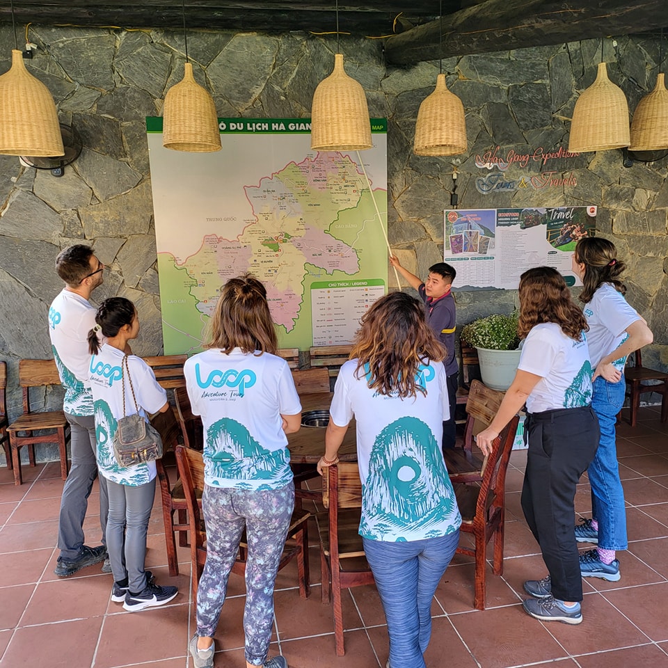
Quick Overview: Where the Loop Goes
Most routes start and end in Ha Giang City, then loop north through Quan Ba → Yen Minh → Dong Van → Meo Vac, with optional add-ons like Lung Cu (the far north) and Du Gia (waterfalls + homestays).
A map matters because:
-
Mountain roads make travel times longer than they look.
-
Viewpoints are easy to miss in fog, rain, or late light.
-
Fuel and food options can be limited in remote stretches.

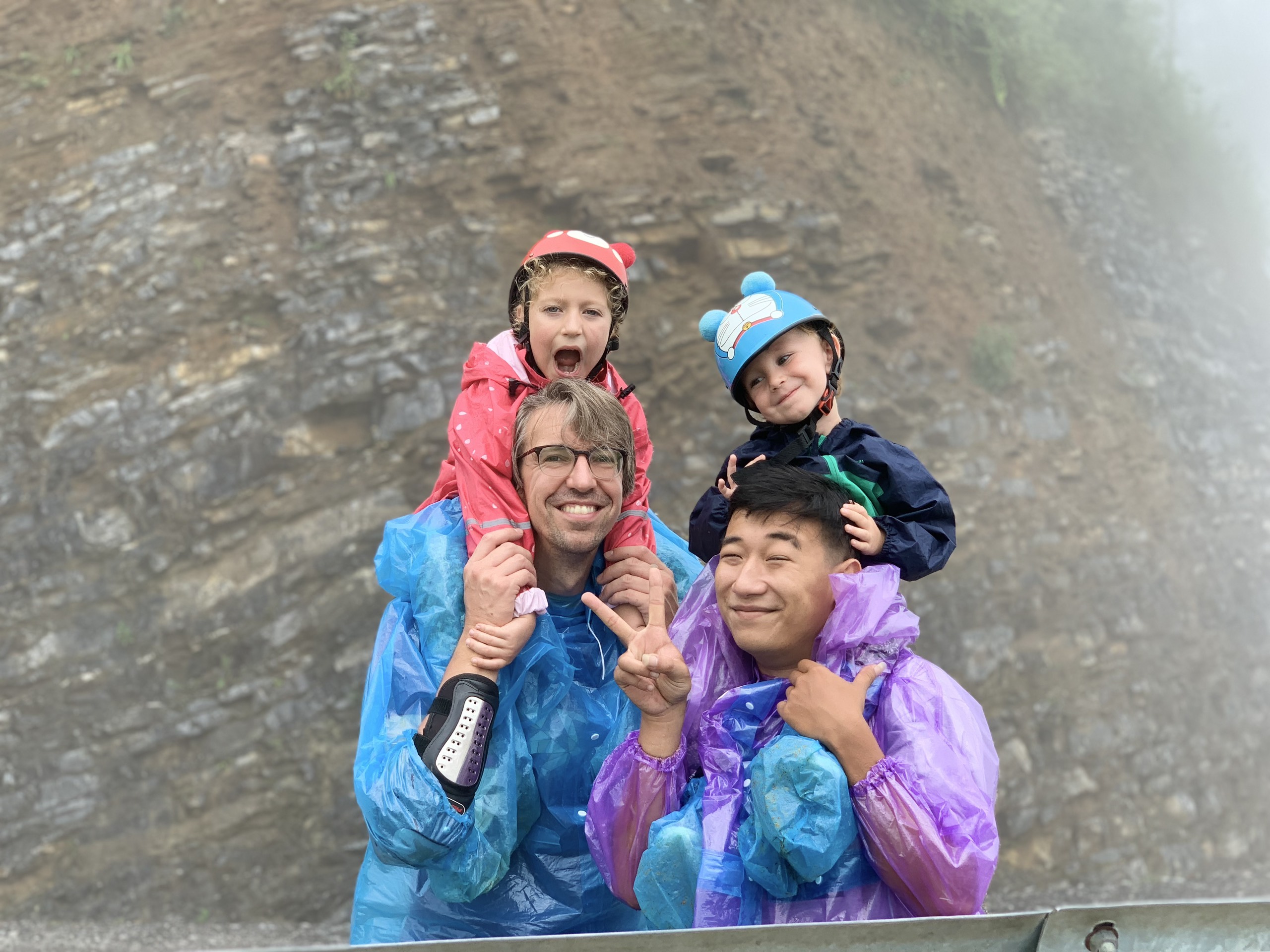
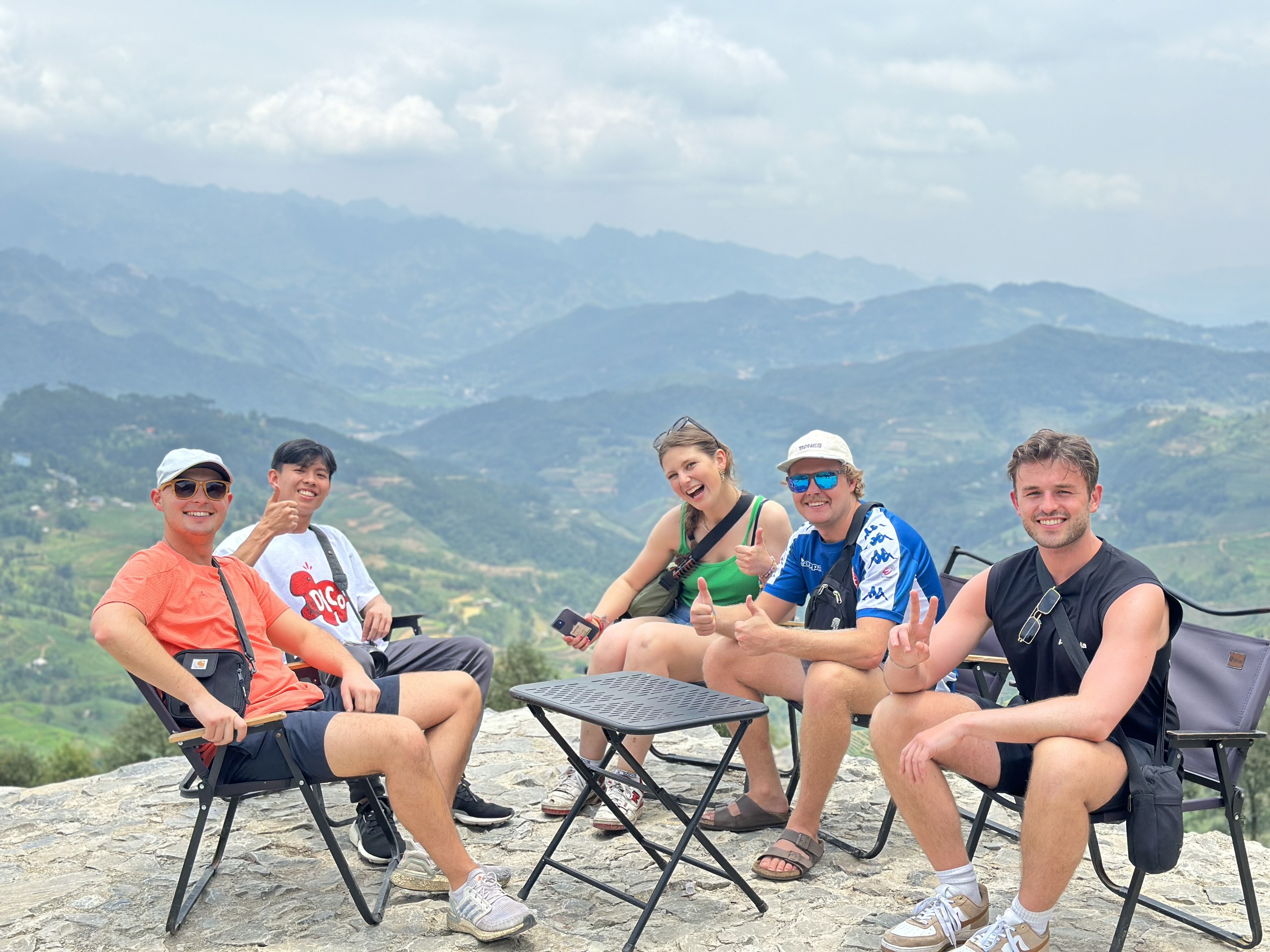
Pick Your Style: Self-Ride, Easy Rider, or Loop Tours
Self-ride: Best for confident riders. Build a map with waypoints (fuel, viewpoints, guesthouses), not just towns.
Easy rider: You focus on photos and stops while your driver handles the route.
Loop tours: The advantage is a balanced itinerary (route planning, accommodation, and pacing) that’s especially helpful for first-timers.
Many loop tours also help with the boring-but-important stuff: where to sleep, when to stop, and how to adjust the route if weather changes plans.
The Classic Ha Giang Loop Map: 3 Days (Most Popular)
Day 1: Ha Giang City → Quan Ba → Yen Minh
Pins to save:
-
Bac Sum Pass
-
Quan Ba Heaven Gate viewpoint
-
Twin Mountains photo stop
Overnight in Yen Minh for a quiet reset.
Day 2: Yen Minh → Dong Van (optional Lung Cu)
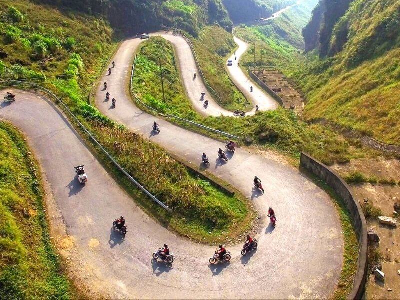
This is the karst plateau day—big landscapes, winding roads.
Pins to save:
-
Tham Ma Pass hairpins
-
Viewpoints across the Dong Van Karst Plateau
-
H’Mong King’s Palace
-
Optional: Lung Cu Flag Tower if skies are clear
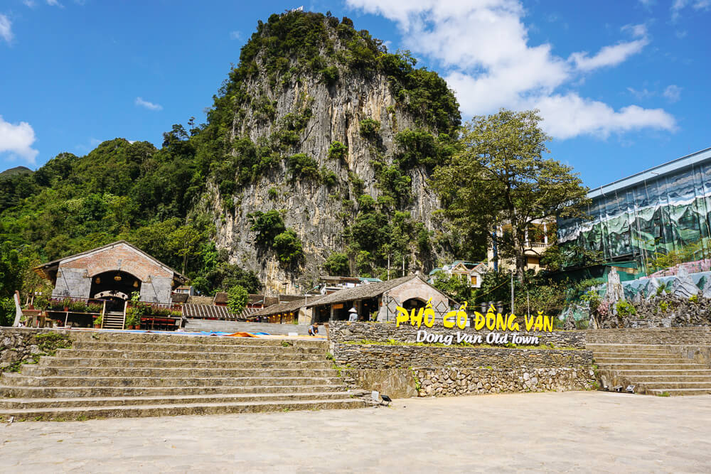
Overnight in Dong Van (old quarter, cafés, evening food).
Day 3: Dong Van → Ma Pi Leng Pass → Meo Vac → Ha Giang City
This is the legendary day.
Pins to save:
-
Ma Pi Leng Pass viewpoints
-
Nho Que River viewpoint (some routes add a boat ride)
-
Meo Vac town for lunch
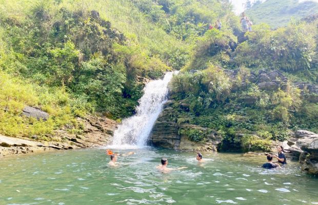
Then return to Ha Giang City. If you want a slower finish with waterfalls, that’s usually a 4-day plan via Du Gia.
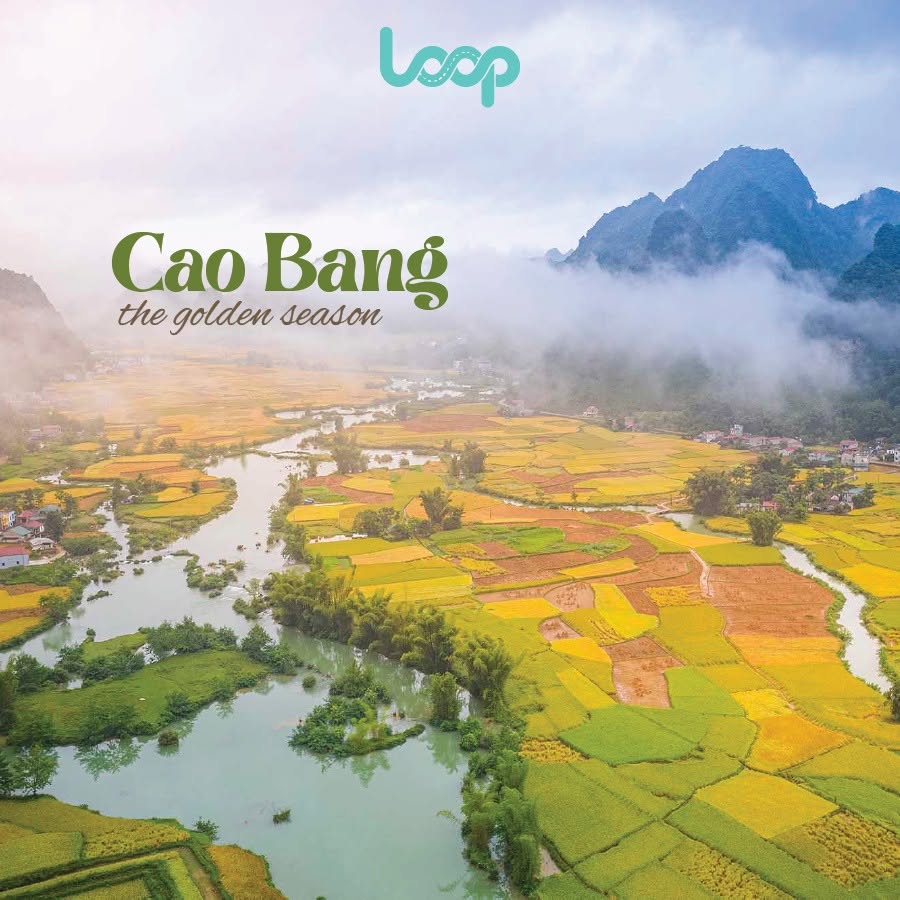
The Best Upgrade: 4 Days with Du Gia (Sweet Spot)
A 4D/3N route is often the best balance of highlights and breathing room:
-
Day 1: Ha Giang → Quan Ba → Yen Minh
-
Day 2: Yen Minh → Dong Van (add Lung Cu if you want)
-
Day 3: Dong Van → Ma Pi Leng → Meo Vac → Du Gia
-
Day 4: Du Gia → Ha Giang City (waterfalls + rice valleys + relaxed riding)
Why it’s better: you avoid cramming Ma Pi Leng, multiple viewpoints, and a long return into one intense day. Du Gia also gives you a greener, softer landscape that contrasts the rocky plateau.
How to Build a Tour-Ready Ha Giang Loop Map
Download offline maps before leaving town (signal can drop in the mountains).
Pin micro-stops: viewpoints, cafés, fuel spots, and homestays.
Plan for daylight: start early, leave buffer time for photos and slow sections.
Add backups: a couple of extra guesthouses or turning points in case of fog, rain, or fatigue.
A simple rule: one main destination town per day, plus 3–6 scenic pins you can enjoy without rushing.
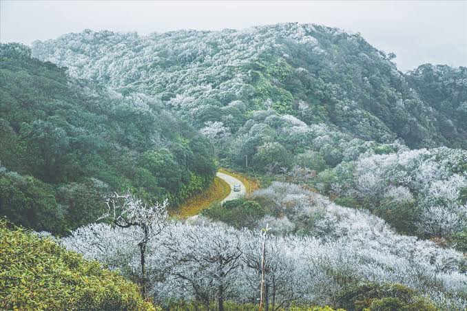
Best Time to Go (and How Weather Changes Your Map)
Ha Giang is beautiful year-round, but weather changes visibility and road confidence. Drier periods usually bring clearer views, while wetter months can mean fog, slippery corners, and slower riding. Tours can help by adjusting routes when conditions change.
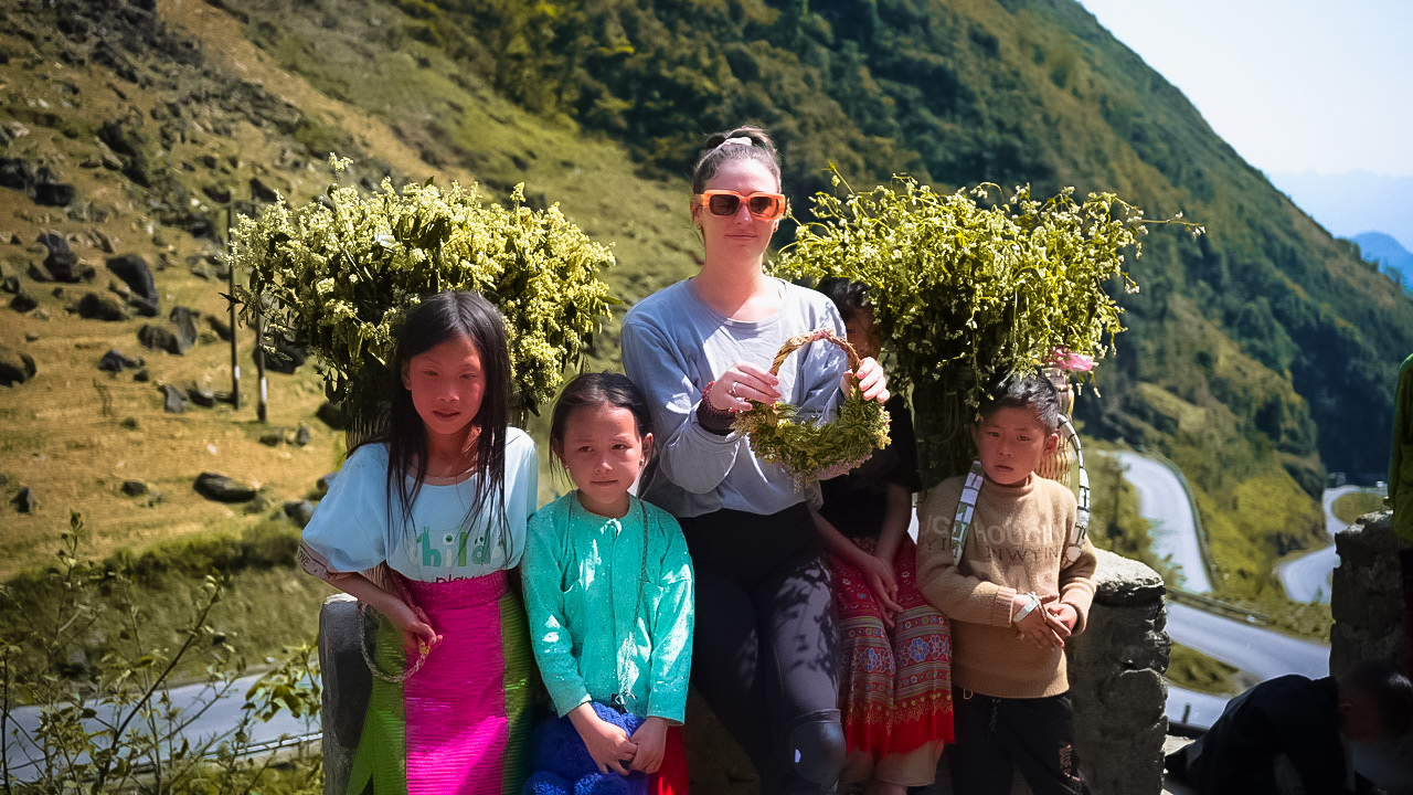
Photo Pins to Mark on Your Map
Save a few “must-stop” photo locations so you don’t rely on luck:
-
Quan Ba Heaven Gate viewpoint
-
Tham Ma Pass hairpin overlook
-
A high viewpoint on the Dong Van Karst Plateau
-
Ma Pi Leng Pass ridge views
-
Nho Que River viewpoint

Practical Tips That Make Your Map Work
-
Fuel early: when you see fuel, top up—especially before remote stretches.
-
Pack layers: high passes can feel cold even when valleys are warm.
-
Ride within your limits: tight hairpins and steep drops deserve respect.
-
Slow through villages: people and animals can appear suddenly.
-
Keep documents handy: some border-area routes may require permits for foreign travelers, and tours can often help with logistics.
FAQs
How many days do I need?
3 days for the classic highlights; 4 days for the best pace (especially with Du Gia).
Do I need a license to ride the Loop?
If you plan to ride yourself, make sure you have the correct license and documentation for Vietnam, and consider an easy rider or tour if you’re not fully confident.
What are the first pins I should save?
Ha Giang City, Quan Ba Heaven Gate, Tham Ma Pass, Dong Van Old Quarter, Ma Pi Leng viewpoints, Nho Que River viewpoint, and Du Gia (if doing 4 days).

Final Thought
The Loop is unforgettable—but it’s rugged and unpredictable. Building a Ha Giang Loop map with the loop tours mindset (proven route, realistic days, and flexible backups) lets you enjoy the mountains instead of racing them. Save your pins, choose a 3- or 4-day plan that matches your pace, and leave space for the best part of Ha Giang: the surprises between the stops.
Ready to plan, get a price, or just ask questions?
👉 Call/WhatsApp The Loop Tours — Hotline: +84862443320