Planning the Cao Bang loop in Vietnam? Discover what is the hardest part of the Cao Bang loop, with insights on terrain, weather, and top riding tips for your motorbike adventure.
Recommended Tours for You:
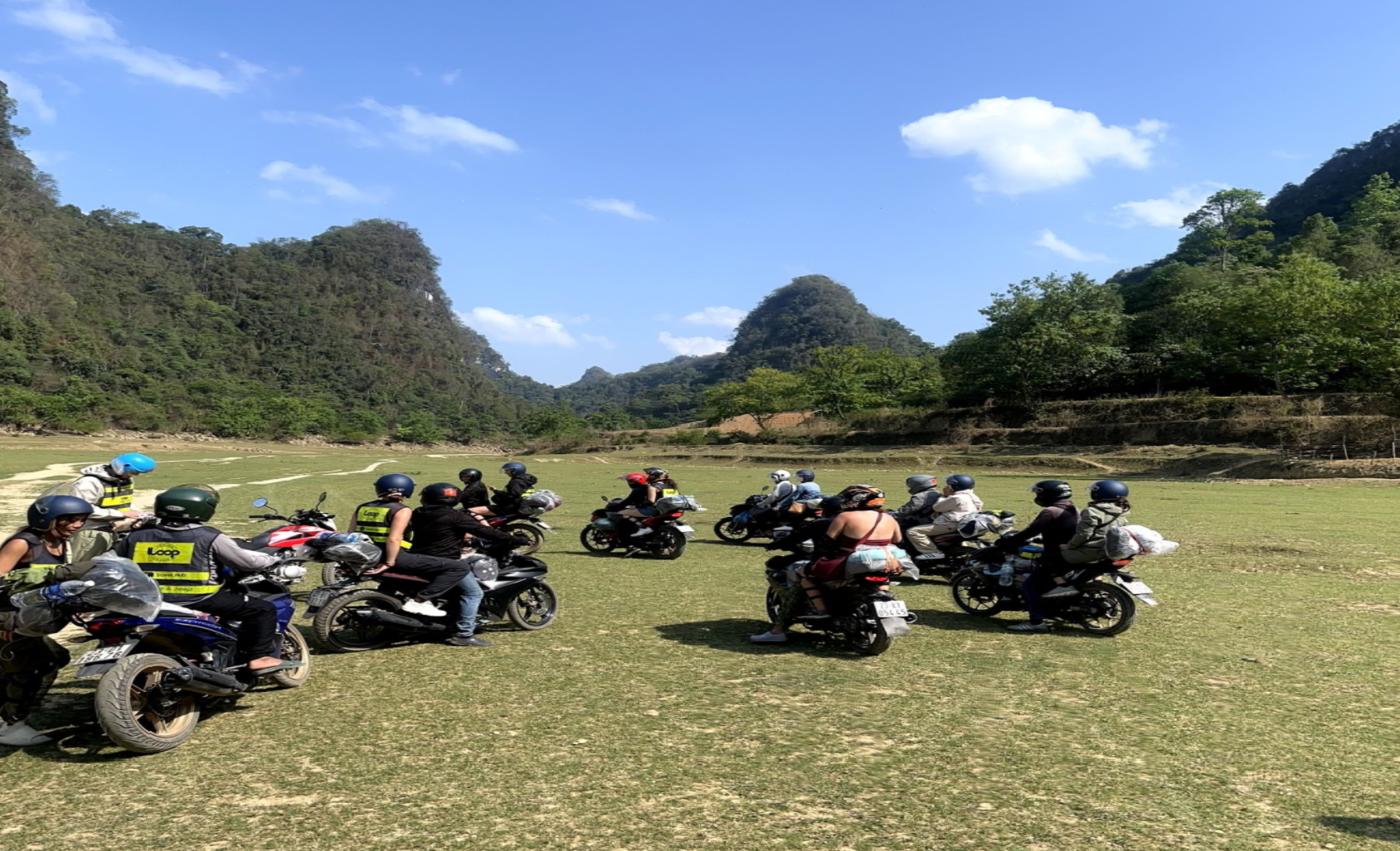
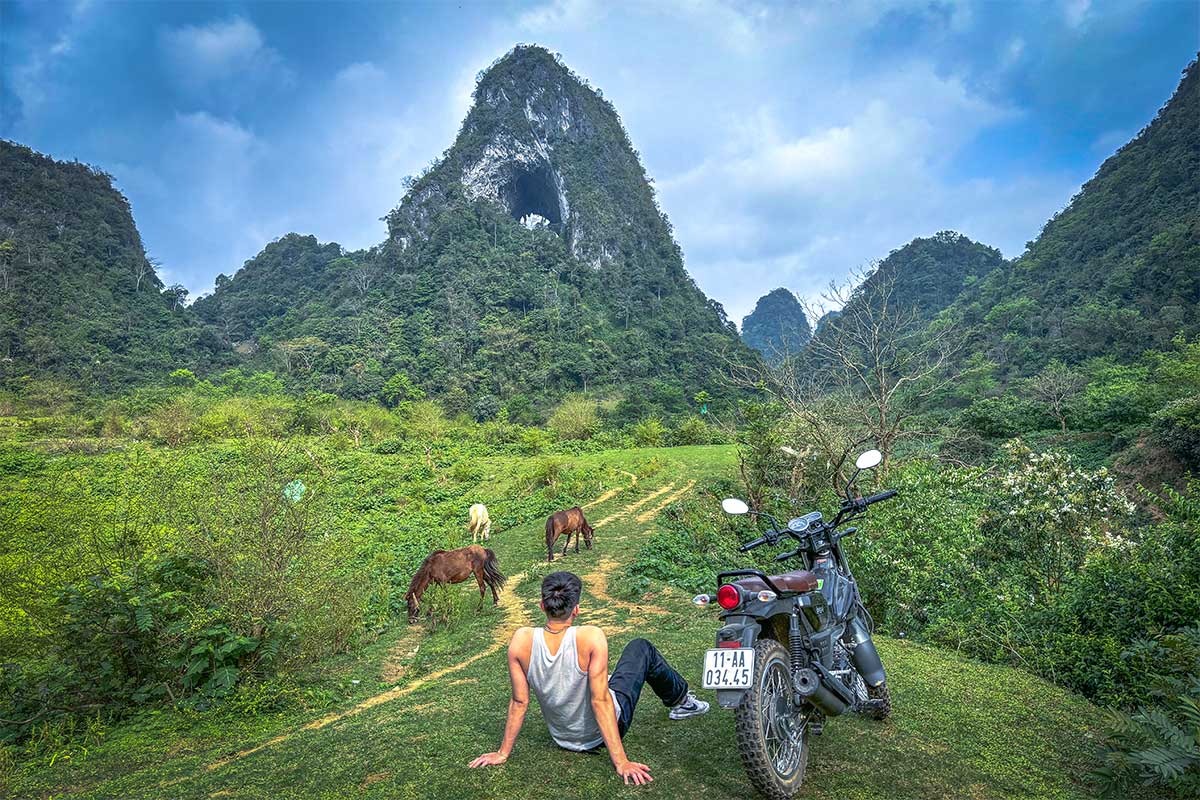
Why Do Riders Love (and Fear) the Cao Bang Loop?
Northern Vietnam is home to some of the most breathtaking yet challenging motorbike routes in Southeast Asia. While the Hà Giang Loop often steals the spotlight, the Cao Bang loop is quickly gaining popularity among adventurous travelers.
Twisting through remote mountains, hidden valleys, and close to the Chinese border, the Cao Bang loop is both stunning and demanding. If you're planning to conquer it, one of the first questions that comes to mind is:
"What is the hardest part of the Cao Bang loop?"
Let’s dive deep into the loop's terrain, weather, and tricky segments so you can prepare and ride with confidence.
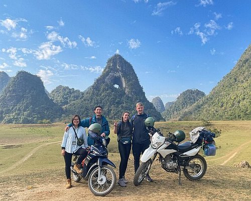
Overview of the Cao Bang Loop Route
The full Cao Bang loop typically takes 3 to 5 days and covers the following key destinations:
-
Cao Bang City (starting point)
-
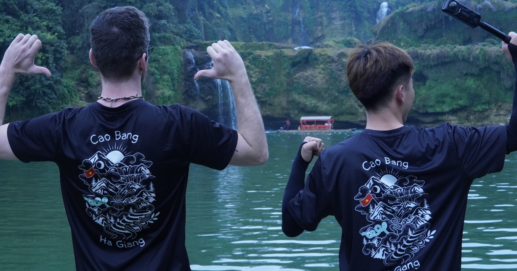
Ban Gioc Waterfall – One of Vietnam’s most iconic waterfalls
-
Trung Khanh – Border town surrounded by limestone peaks
-
Trà Lĩnh or Bao Lac – Remote districts with winding mountain passes
-
Optional: Connection to the Hà Giang Loop
Distance: ~300–350 km, depending on your exact route
Recommended vehicle: Semi-automatic or manual motorbike (125cc+)
What is the Hardest Part of the Cao Bang Loop?
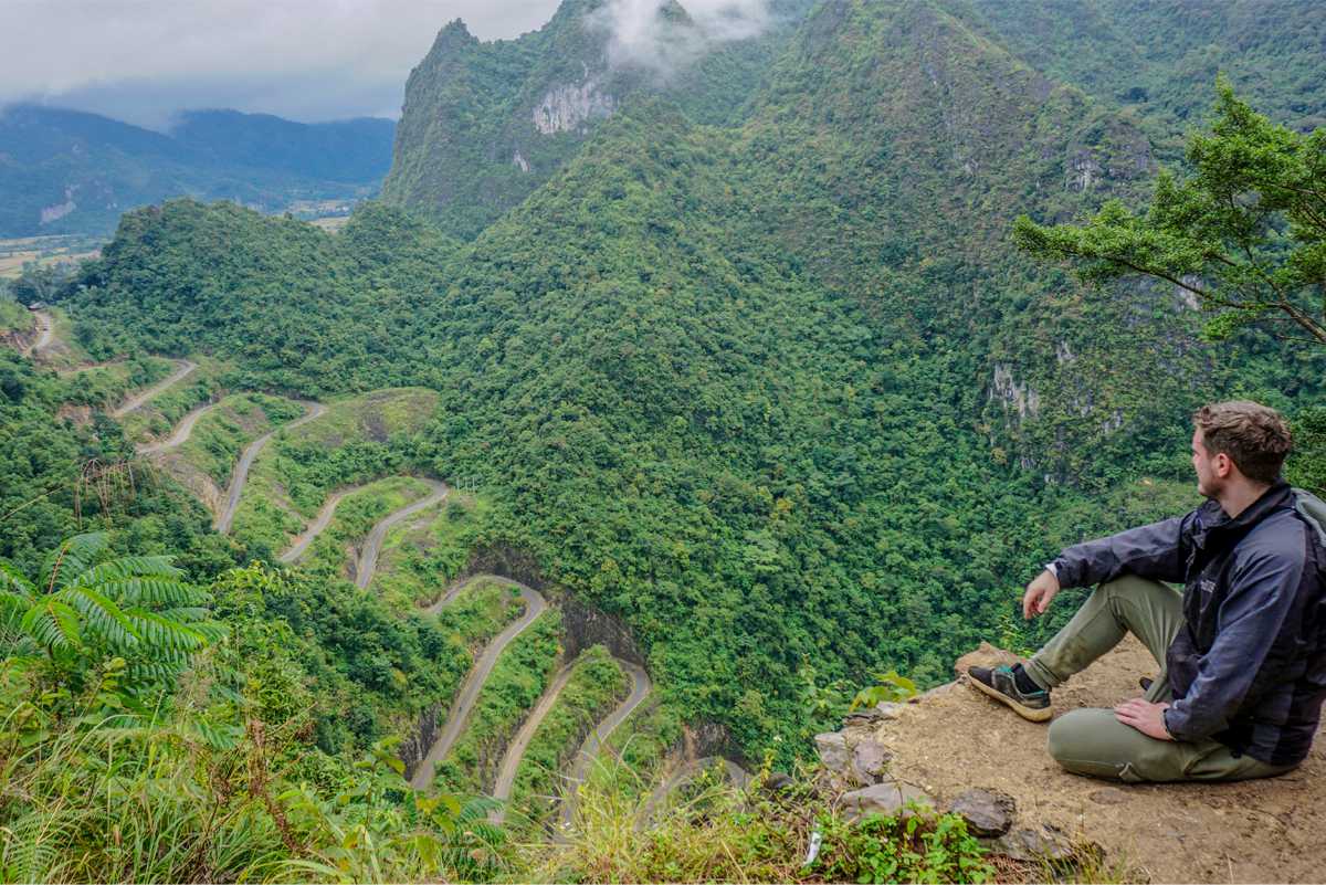
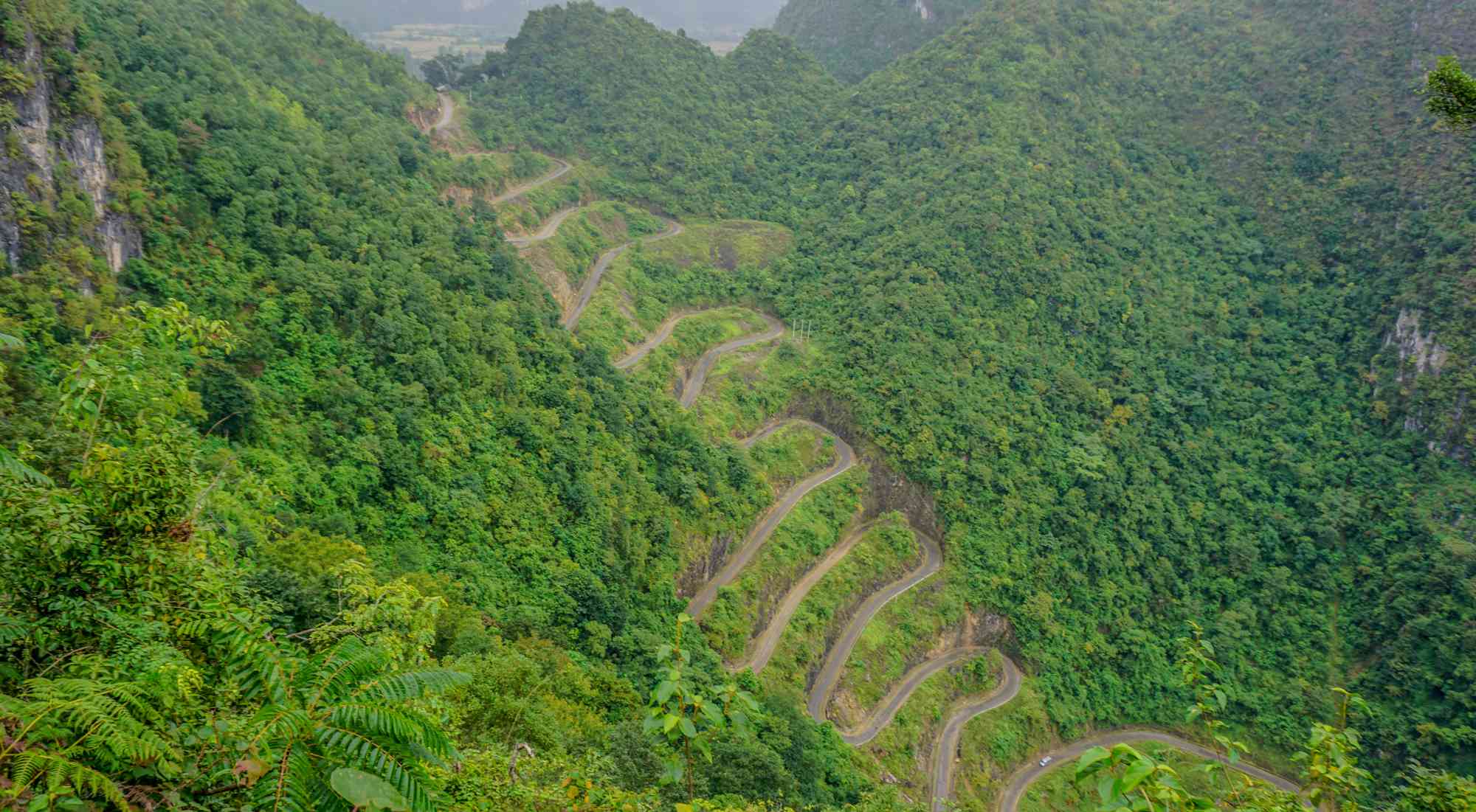
🛣️ 1. The Mountain Pass Between Trà Lĩnh and Bao Lac
Difficulty level: ⭐⭐⭐⭐☆
Why it’s hard:
-
Narrow, twisting roads with tight switchbacks
-
Minimal road maintenance—expect potholes and landslides in some stretches
-
Steep climbs and descents, especially after rain
This section is the most physically and mentally demanding. Riders need to be cautious, especially when descending steep slopes or passing trucks on blind corners. Fog can reduce visibility during early mornings and late afternoons.
If you're not confident on mountainous terrain, consider taking it slow or booking a guided tour with an experienced driver (Easy Rider).
🌧️ 2. Riding in Wet Weather Conditions
January to March is dry season in Vietnam, but northern provinces like Cao Bang still experience occasional fog, drizzle, and cold wind. Slippery roads and cold hands make this loop harder than it seems.
-
Bring waterproof gloves and gear
-
Avoid riding at night or during heavy mist
-
Check weather forecasts daily for safer planning
Even simple roads can become treacherous under wet conditions. The hardest part might not be a single road—but the overall challenge of endurance and climate.
🧭 3. Getting Lost on Remote Roads Without Signage
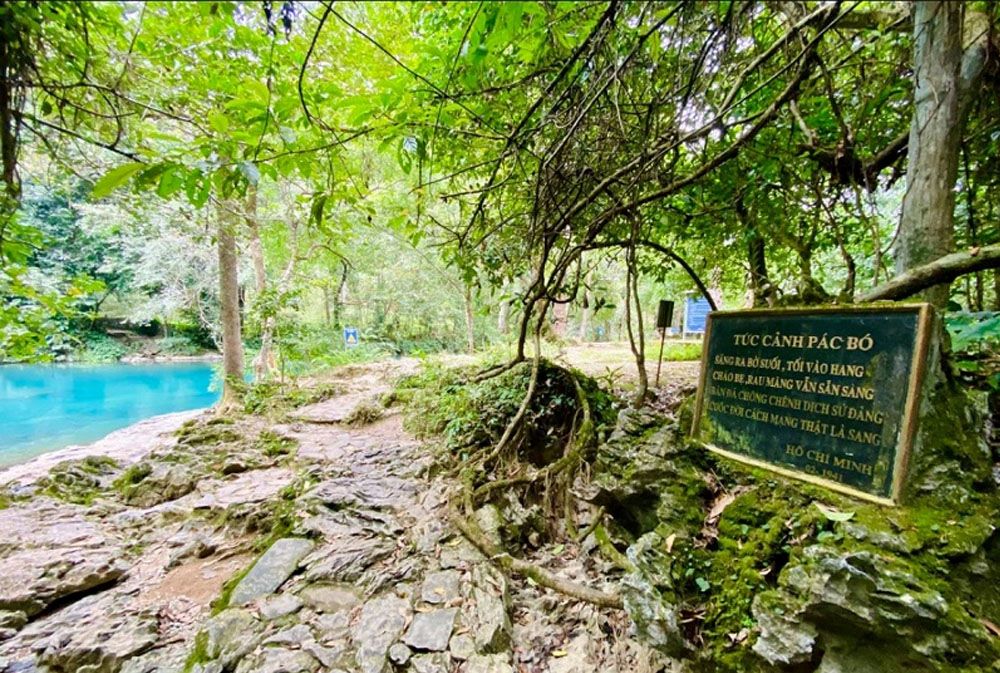
Google Maps is often inaccurate in the mountainous zones of Cao Bang. There are confusing forks, unnamed roads, and limited cell service in remote districts like Nguyen Binh or Pac Bo.
-
Bring offline maps (Maps.me or Locus Map)
-
Ask locals using basic Vietnamese phrases or hand gestures
-
Ride in daylight, and try not to travel solo in remote areas
Tip: Join a group or go with a local guide to avoid misroutes that can cost you hours of time and fuel.
Other Challenging Aspects of the Cao Bang Loop
🏍️ Road Conditions Vary Widely
-
Some sections are paved and smooth (like between Cao Bang and Ban Gioc)
-
Others are gravel or broken concrete, especially detours around construction zones
-
River crossings and muddy shoulders are common in the rainy season
Make sure your bike is in excellent condition—check brakes, tires, and headlights.
💤 Limited Accommodation and Services
In less developed villages like Tra Linh or Bao Lac, options for food, petrol, or homestay might be scarce. Don’t wait until your tank is low or it’s dark to look for lodging.
-
Fill up at every major town
-
Carry snacks and water
-
Book homestays in advance if possible (The Loop Tours offers support here!)
How to Prepare for the Cao Bang Loop’s Hardest Parts
✅ Motorbike Tips:
-
Use a semi-automatic or manual bike with good suspension
-
Check tire pressure, chain tension, and brakes before the ride
-
Carry spare spark plugs, tire patch kits, and a basic toolset
✅ Personal Gear:
-
Warm layers (temperatures can drop below 10°C in January)
-
Quality helmet with visor
-
Raincoat and waterproof boots
✅ Navigation Tools:
-
Download offline maps (don’t rely only on 4G)
-
Save emergency numbers and your accommodation contacts
-
Consider joining a group or hiring a local guide
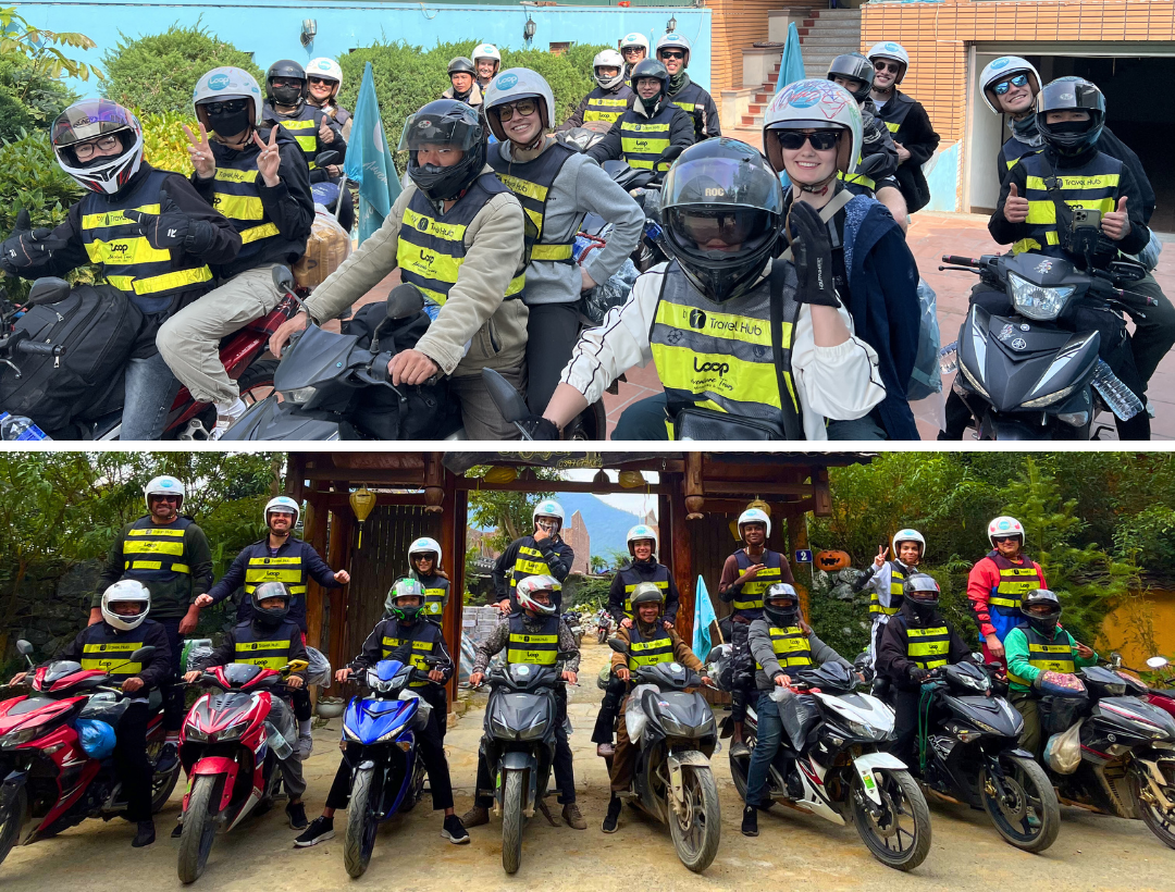
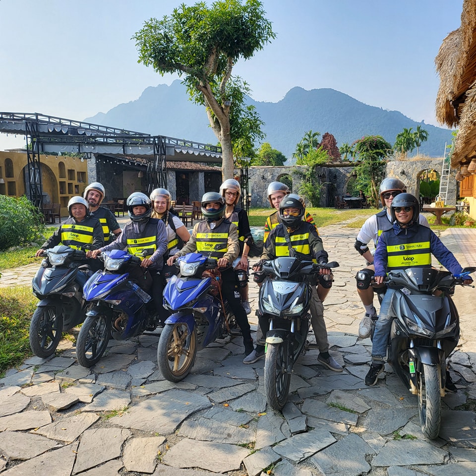
Want a Safer Experience? Book with The Loop Tours
If you’re unsure about tackling the Cao Bang loop solo—especially the harder segments—The Loop Tours offers guided Cao Bang motorbike adventures that include:
-
Expert local drivers (Easy Riders)
-
Reliable, maintained motorbikes
-
All accommodations, meals, and fuel
-
Route planning and full support
You’ll still experience the raw beauty and adventure—but without the stress of navigation or safety concerns.
👉 Visit thelooptours.com to check out current itineraries and book your seat for a Cao Bang Loop experience that’s both epic and safe.
Final Thoughts: Conquer the Challenge, Enjoy the Journey
So, what is the hardest part of the Cao Bang loop?
It’s not just one road or one climb. It’s the combination of unpredictable mountain terrain, changing weather, remote landscapes, and the physical endurance required to ride through them.
But for those who come prepared—with the right gear, mindset, and maybe a great tour guide—the rewards are unforgettable: untouched landscapes, peaceful ethnic villages, and the mighty roar of Ban Gioc Waterfall in the distance.
Dare to take the road less traveled? The Cao Bang Loop awaits.